
Union City Neighbors by Block
A block-level lookup of Union City neighbors is a set of narrow sources, not one public household roster. The parcel map answers where land touches. The assessment and tax layers answer property questions. The Recorder follows named parties after a title clue is known. Voter data has a statutory access gate, and community groups publish only what they choose to publish. The coverage below keeps those roles separate.
| Source | What It Shows About a Block | Access |
|---|---|---|
| Union City Public Viewer | Parcel adjacency, address, APN, city boundary, hazards, parks/schools and other mapped context | Free ArcGIS Experience; accept disclaimer; manual parcel clicks |
| County assessment search | One known address/APN's assessment/property record | Free; three search modes; ownership not promised online |
| Treasurer-Tax Collector search | Secured/supplemental/prior-year account by address/APN | Free autocomplete; one property at a time |
| Recorder official-record index | Ownership/encumbrance history once a person name is known | Online 1969-present; pre-1969 office microfilm; paid copies |
| Voter file | Registration fields for approved statutory purposes | Application/use restrictions under Elections Code §2194; not an open neighbor map |
| Permit/planning files | Addressed work, applicants and project history | City Building/Planning request; online historical coverage unverified |
| Community organizations | Voluntary public officers/contact points, events and geographic identity | City/community pages; no right to private membership lists |
Read the table from left to right. A mapped parcel is not a person. A title party is not automatically the person who is present. A public officer or event contact is not a member list. The best neighbor record is a clearly dated fact with its custodian named, followed by a plain statement of what remains unknown.
Map a Union City Neighbor Block
The adjacent-parcel method uses the Union City Public Viewer as a visual starting point. Search the target numbered address, zoom until parcel boundary lines appear, and left-click inside the target polygon. The bubble supplies the property address and APN. Then move one polygon at a time to the left, right, behind, or across the street. The documented viewer provides zoom and parcel clicks; it does not document a buffer, radius, multi-select, or bulk-export tool.
- Enter the numbered address and accept the viewer disclaimer. Confirm that the target point and the City Boundary layer fit the question.
- Click the target parcel and record the address, APN, and Summary shown in the bubble.
- Pan or zoom while keeping the street segment visible, then click each immediately adjoining polygon, including a corner or rear parcel that house numbers may skip.
- Query each APN or standardized address separately in Alameda County Assessor Property Search or the Treasurer-Tax Collector search.
- Treat the result as a parcel inventory. If a whole named street is the real question, switch to the Union City street records by address workflow instead of assuming the block clicks are a full street list.
This process is slower than reading house numbers in sequence, but it follows the land. It catches a corner lot, a long rear parcel, a common-area parcel, or an access strip that has no obvious door. It also makes the source of each neighbor clue auditable. Neighbors are identified as parcel relationships first, not as a complete household list.
Note: Adjacent parcels do not always mean adjacent households, so keep map, title, tax, and occupancy clues separate.
Union City Parcels Defy House Numbers
Adjacent parcels are not always adjacent street numbers. A corner lot can face one road while its legal parcel touches another. A flag-shaped lot can sit behind a narrow access strip. A parcel with several units can contain many households, while an association or common-area parcel may have no dwelling at all. Private streets and irregular lot lines add more reasons to trust the map shape over a guessed sequence.
APNs can also change when parcels are divided or combined. A current APN is a strong bridge into today's assessment and tax systems, but an older deed may use a former number, a lot and block reference, or a metes-and-bounds description. For a past neighbor or boundary question, record the legal description and the recorded map reference before comparing records across years.
The map's limitations are useful information. If a polygon does not show a verified owner field, do not fill the gap with a name from an unrelated category. A Union City neighbors lookup should keep the parcel, the title record, the mailing clue, and the household question in separate notes.
Union City Neighbor Record Layers
The county property search offers Parcel Number, Type Ahead Address, and Property Address modes. It is a one-property tool, not a public owner-name directory. The tax portal also works one selected address or dashed APN at a time and can show secured, supplemental, and prior-year delinquent bill categories. A tax mailing destination tells where notices go, not who is present at the situs.
The Recorder adds a different key. Alameda County's official land records are alphabetically indexed by party name, with electronic coverage from 1969 forward and microfilm indexes for 1853 through 1968. There is no Recorder address index. A neighbor lookup must therefore begin with a map and APN, obtain a current title clue through the documented office route, and only then search a grantor or grantee name. Copies and older research use the Clerk-Recorder's office channels.
These layers can corroborate a property trail, but they do not create a block census. The GIS parcel, Assessor result, tax account, and deed each answer a land or title question. They should not be restated as proof that every title party lives at the address.
Union City Neighbors and Block-Level Voter Rules
Union City voters are administered by the Alameda County Registrar of Voters. The county's ROV contact page and California's My Voter Status service support individual verification. The self-lookup asks for first name, last name, date of birth, and a conditional California driver license or identification number or last four Social Security digits. It is not a public street search.
California Elections Code §2194 limits voter-registration access to approved election, scholarly, journalistic, political, governmental, and qualifying investigation uses. The affidavit is confidential, and driver license or identification numbers, Social Security numbers, and signatures are not released. Safe at Home participants receive additional address protection. A broader voter-file request must identify the applicant, intended use, recipients, security plan, and certification through the state or county process.
An unmatched self-lookup is not proof that a person is absent. Spelling, a recent move, a pending update, or an identity mismatch can cause a failed response. The public result cannot reveal ballot choices, and there is no general-purpose tool for enumerating everyone registered along a Union City block. The individual tool helps a voter, not a list of neighbors.
Note: Voter participation history can show whether a ballot was cast, but it never shows which candidate or measure a person selected.
Union City Civic Records Around Blocks
City records add civic context without becoming a household roll. Union City agendas, packets, meeting video, appointed-body records, and official-copy routes can identify public roles, speakers, applicants, or a named issue. They do not prove that a person lives on the block. The city's meeting and records page below is the proper starting point for public municipal material.
See the Union City meetings and video source before making a focused request.
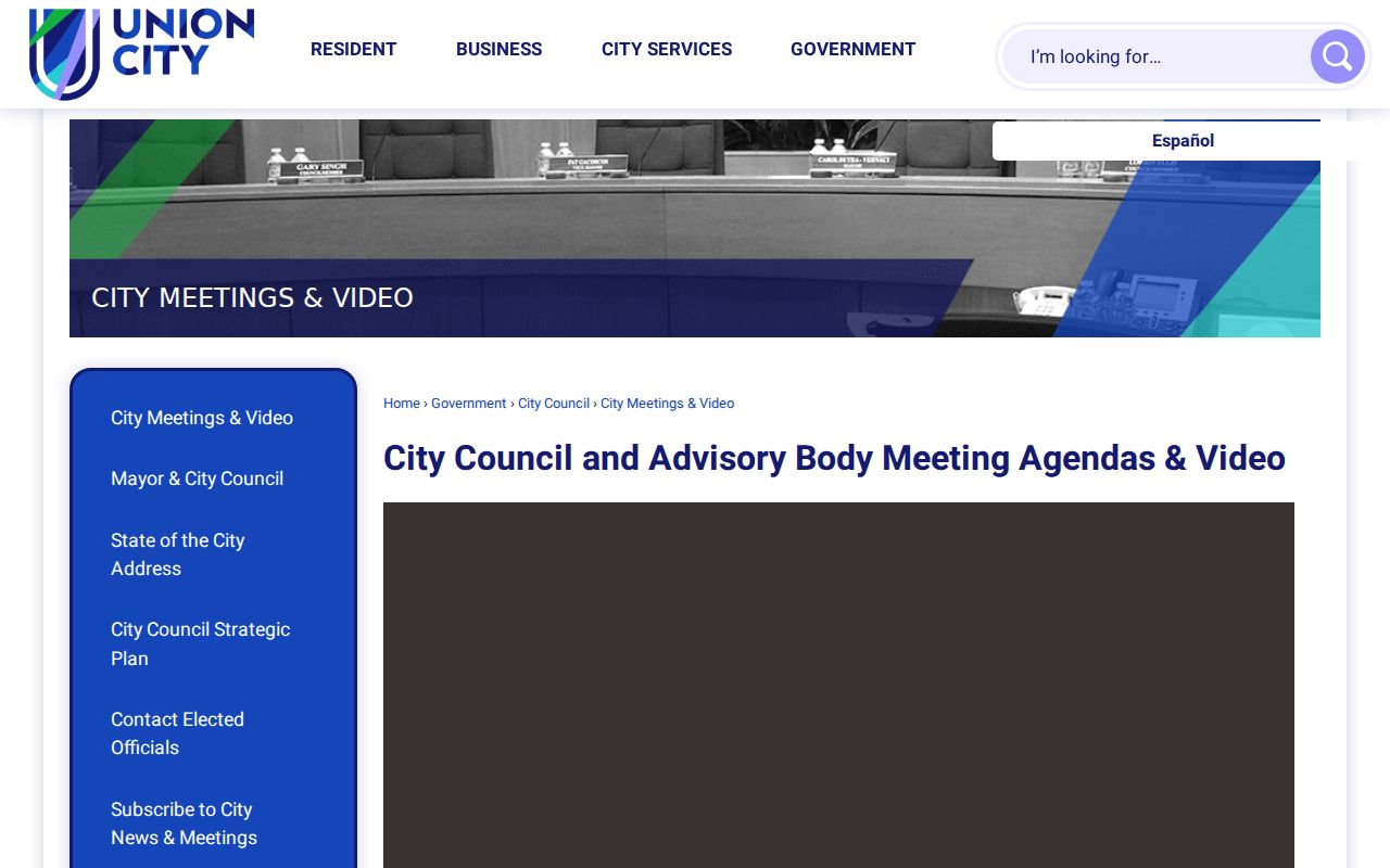
The image illustrates a public civic trail, not a block roster. When a permit, correspondence, code record, roster, historic license list, or contract has no purpose-built portal, Union City's CPRA request portal accepts a focused description with a department, address or person/business, and a bounded date range.
The county's Alameda public-records request form likewise asks for a document description and date range. A California Public Records Act request receives a disclosure determination within ten calendar days, with a possible written extension of up to fourteen days for unusual circumstances. That is a determination deadline, not a promise that every record will be produced in ten days.
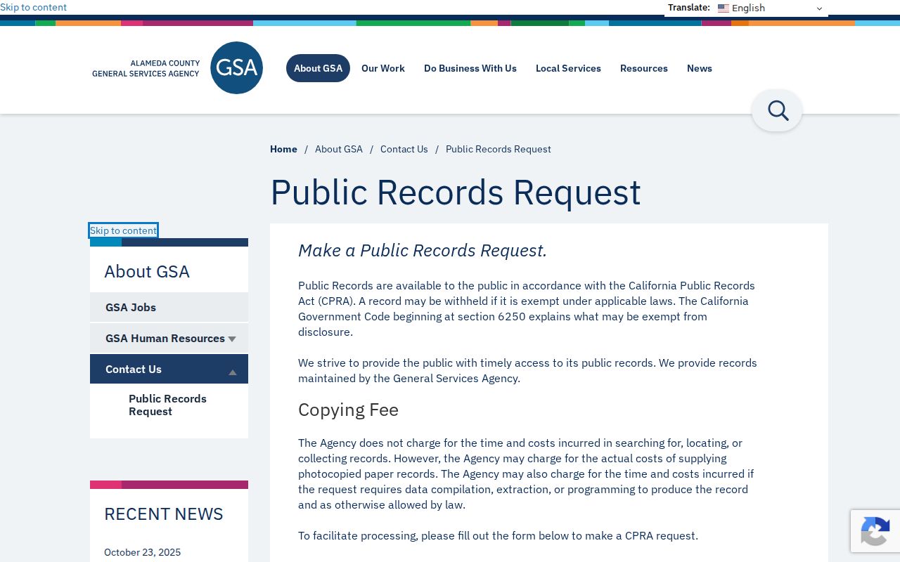
The request form shows why a block question needs a defined custodian and date range. Court files, certified land copies, and other agency records follow their own access routes rather than a general county form.
Union City Community Groups Beyond Neighbor Rolls
Community sources can help identify a public contact, event, geographic identity, or civic program. They do not create a right to private membership information. Union City publishes community and policing contacts, district maps, and planning references, while individual associations decide whether to publish an officer or contact form. The city did not publish a complete authoritative HOA inventory or public member directories.
Community Outreach
City outreach channel for public contact and programs. No resident directory is published.
District Maps
Council district reference for boundaries and representation, not a household directory.
COPPS
Community policing contact; no private block-watch roster was verified.
Individual associations
Private organizations may publish a contact, but member rosters remain private unless lawfully and voluntarily released.
Decoto and Alvarado are historic communities within incorporated Union City, not verified current membership organizations. The Station District is a city planning and service area around BART, with some program eligibility rules, not a resident directory. Community identity and parcel geography can overlap without producing the same list of people.
Business records are another limited layer. The Union City business-license search can establish a municipal license tied to a name or address. It does not establish residence, and a trade name may belong to a differently named registrant. The public search image shows the business layer that should be kept separate from neighbor records.
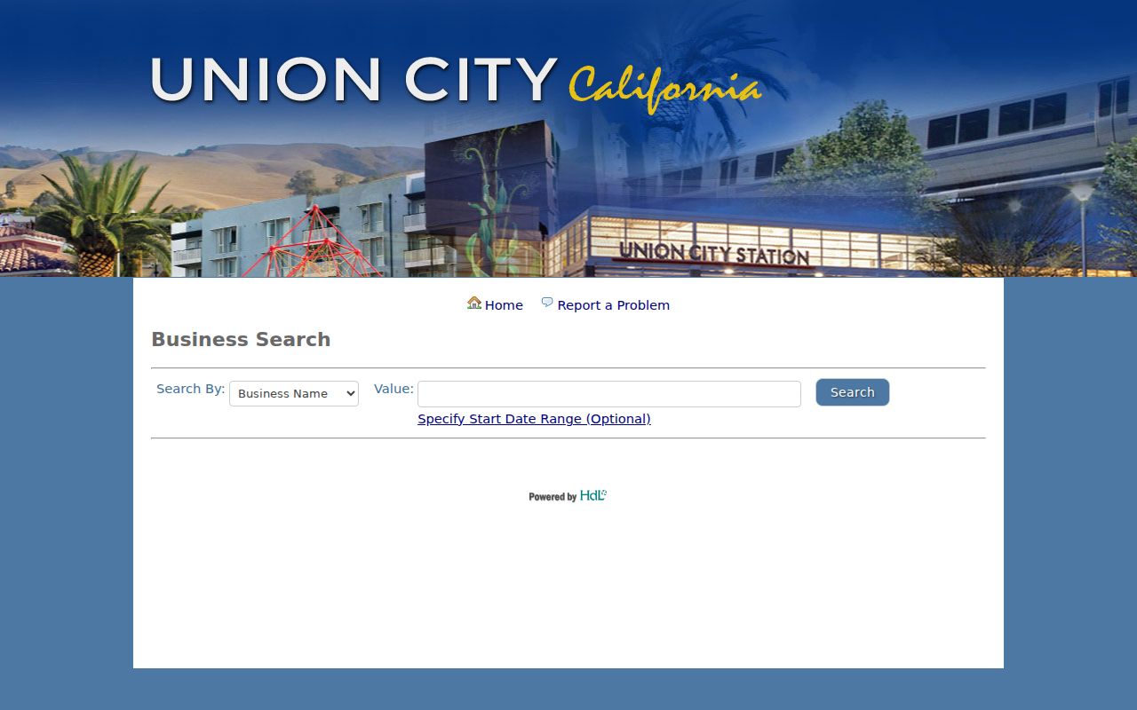
The follow-up check is the important part: compare a city license with state entity or county fictitious-name records when the question concerns an organization, and do not convert an affiliation into a home address.
Alameda Custody Records, Not Neighbors
Some public search tools are about a narrow custody event rather than a block. The Alameda County Sheriff Inmate Locator is a current jail information search. Its documented inputs include a name search and may include a booking identifier; a typical result can show a name, PFN or booking identifier, booking date, facility, charges, bail, and court scheduling.
That record is not a comprehensive resident directory. It may concern a temporary booking, an older matter, or a namesake, and the source does not establish a home address or neighbor relationship. The image below is useful as a reminder that a public name result can belong to a different custodian and a different question.
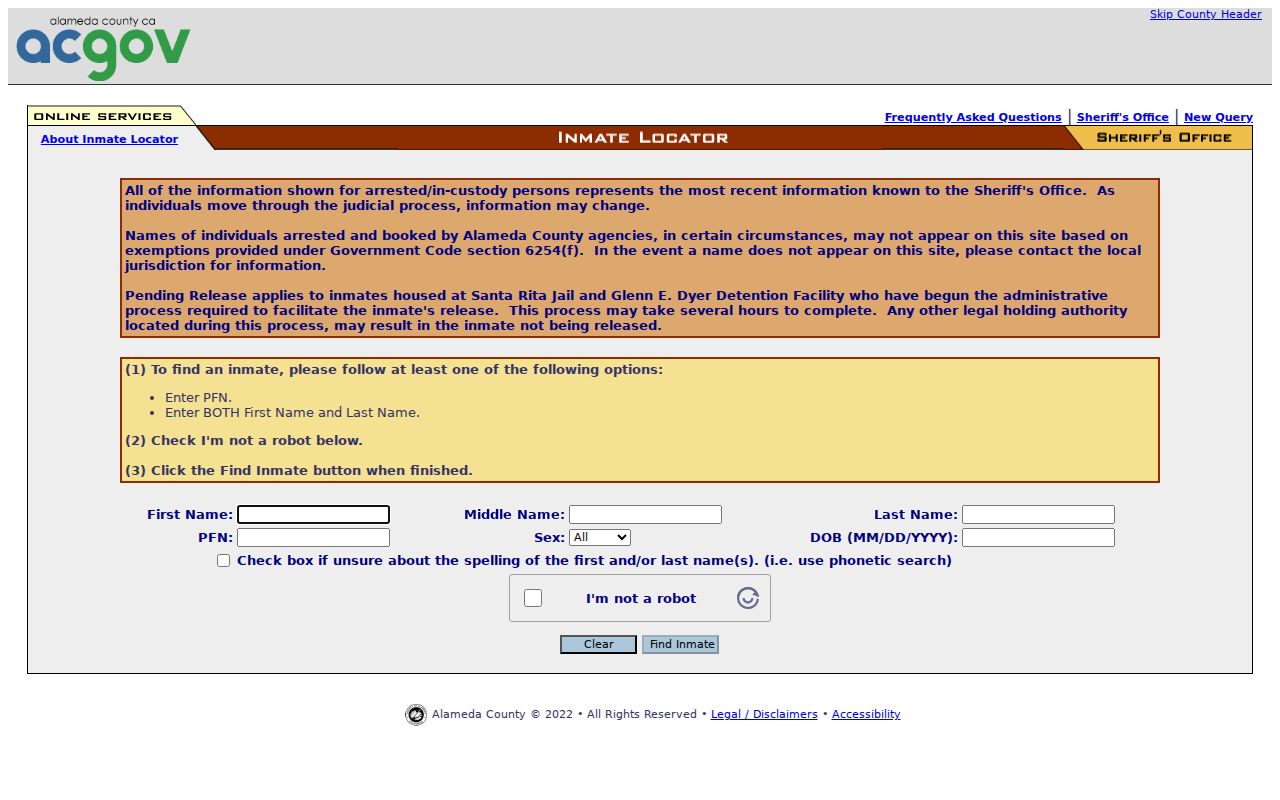
Keep custody, court, property, voter, and community sources in their own evidence lanes. A Union City neighbor lookup should never infer a block relationship from a narrow public-safety index.
Alvarado, Decoto, and Union City Neighbor History
Historic blocks require a different locality search. Union City incorporated in 1959 from Alvarado and Decoto, so a newspaper, directory, deed, map, or census schedule from an earlier date may use those names or Washington Township instead. The modern city label is not a stable historic index key.
The Washington Township Museum of Local History covers today's Union City, Fremont, and Newark through photographs, yearbooks, newspapers, original documents, maps, blueprints, ledgers, clips, oral recordings, and assessor-book selections. Its downloadable Union City Pioneer Genealogical Database contains 340 early Alvarado and Decoto residents. “Homes of Vallejo Street” connects a historic street to owners from 1860 onward, while the museum's local papers and donated newspapers can fill gaps that a modern parcel map cannot.
Regional directory and newspaper holdings still need date and place checks. A directory volume can carry a Union City imprint without covering every street, and a community paper's obituary or story is a clue rather than title proof. Use older locality names, then verify a block claim against a dated record and the parcel's legal description.
Official Records Versus Commercial Neighbor Categories
Commercial neighbor tools often package categories drawn from public and licensed data. Their convenience does not change the source limits. Official records remain the place to verify a parcel, an instrument, a tax account, a city filing, or a purpose-qualified voter record. The comparison below keeps the categories distinct without treating any compiled result as a final answer.
| Source category | Useful strength | Limit to carry forward |
|---|---|---|
| Official parcel, assessor, GIS, and tax records | Primary local custodian for address, APN, map, assessment, and tax-account clues | Usually one selected property; title or tax information does not equal current presence |
| Official Recorder, city, court, and voter channels | Named instruments, municipal filings, court events, or approved registration data | Each has its own index, request path, purpose rule, or confidentiality limit |
| Commercial compiled neighbor category | May gather several public-data categories into a convenient starting clue | May be stale, misassigned, incomplete, or costly; verify with the originating custodian |
A commercial category can help identify which official source to check next, but it cannot authorize access to a protected address or private membership list. The reliable workflow remains address, parcel, custodian, dated record, and independent corroboration.
Privacy Limits Around Union City Neighbors
A block map leaves many personal details outside public access. Non-title household members, recent movers, delivery customers, utility customers, and protected residents are not a general public roster. California DMV personal information is restricted by federal driver-record privacy rules. Voter affidavits, signatures, driver license or identification numbers, and Social Security numbers remain protected, while Safe at Home participants receive additional address safeguards.
California's Safe at Home program supplies eligible participants with a substitute mailing address and confidential mail forwarding through a designated enrolling agency. It is not an automatic Internet eraser, and it does not remove every existing record. A person who needs a correction or redaction must contact the office that holds the assessment, deed index, court, voter, or license record. A commercial deletion request cannot correct a government record.
Lawful use. Use a Union City neighbor lookup for lawful personal research, family history, civic awareness, or a respectful block contact. Never use parcel or people records to stalk, harass, intimidate, or expose a protected address.
When a source stops at a boundary, the correct result is a boundary statement. A Union City neighbor lookup can document parcels, public contacts, and dated records. It cannot promise a complete list of everyone who lives around an address.