
Union City ZIP Code Coverage
Official city and USPS material verifies 94587 as the general street-delivery ZIP associated with Union City. It reaches the residential, civic, BART and Station District, Decoto, and Alvarado areas described in the local records. The Union City Post Office is at 33170 Alvarado Niles Road and supplies street delivery and PO Box service within that ZIP. No second general Union City ZIP, unique institutional ZIP, or dated ZIP split was verified in the cited sources.
| ZIP Code | Areas Covered | Post Office | Notes |
|---|---|---|---|
| 94587 | Union City residential, civic, Station District, Decoto, and Alvarado areas | Union City Post Office, 33170 Alvarado Niles Road | Postal routing only; verify the city boundary parcel by parcel |
The post office lists retail hours Monday through Friday from 9 a.m. to 5 p.m. and Saturday from 9 a.m. to 12:30 p.m.; PO Box access is available around the clock. Those hours help with postal verification, not with a search for residents. Nearby alternate facilities do not add ZIP codes serving Union City.
Note: A verified general ZIP does not establish a complete list of Union City parcels, residents, or incorporated-boundary edges.
Union City Post Office ZIP Lookup
USPS is the right first check when the known fact is a deliverable address. Its lookup route accepts a full address or a city and state workflow and returns the postal ZIP or ZIP+4 associated with the label. A preferred place name can appear on mail even when the physical point sits near or outside an incorporated boundary. Treat the result as postal evidence.
The USPS ZIP lookup capture shows the address-verification route used by a Union City ZIP code directory.
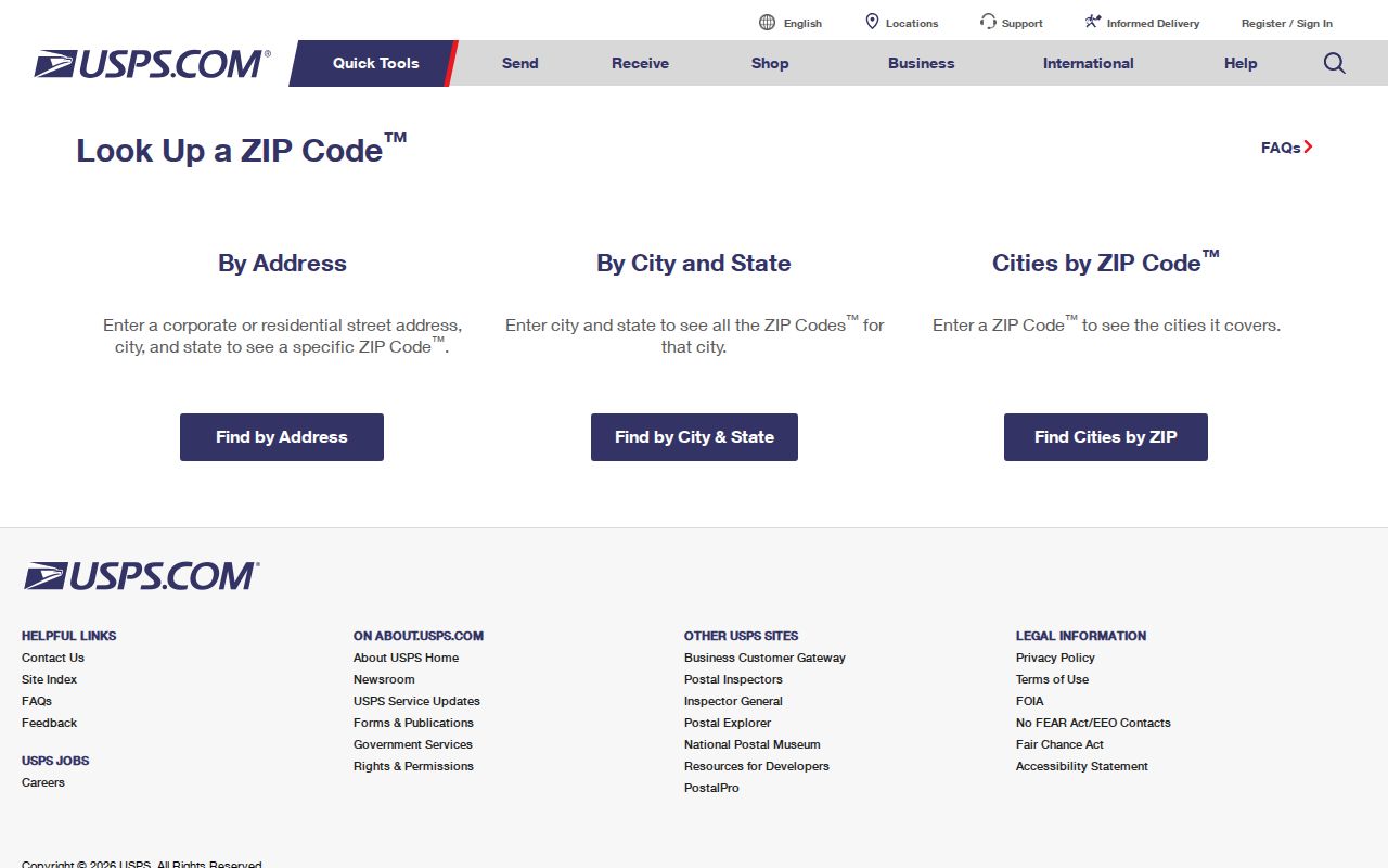
The image supports a single-address check. It does not create a list of every 94587 parcel or resident.
Use the post-office details as a routing clue, then compare the same address with the Union City Public Viewer. A ZIP+4 can refine delivery, but it does not replace an APN, legal description, or incorporated-boundary check.
Union City ZIP Codes Are Postal Routes
A ZIP Code is designed for mail sorting. A city boundary is a legal jurisdiction. A school area, parcel, tax mailing address, and post-office name are additional geographies. They can overlap at one address and diverge at another. That is why a Union City ZIP code directory should never treat 94587 alone as proof that a point lies inside the city.
The research found no official ZIP-boundary polygon or per-ZIP resident count in the cited city and USPS sources. It also found no authoritative list of every nearby address using a Union City preferred postal name. At an edge, verify the address itself instead of assigning a neighboring postal ZIP based on a radius, map label, or assumption about Hayward, Fremont, or Newark.
Geography check. Use USPS for postal validation, the Union City City Boundary layer for incorporation, and the APN or deed legal description for land identity.
That three-part check is more useful than a broad ZIP claim. It also prevents a tax-mail ZIP from being mistaken for the physical location of a parcel.
Verify Union City ZIP Boundaries
The Union City Public Viewer accepts a numbered Street/Address or an APN. After the disclaimer, enter the address, zoom until parcel lines appear, and click inside the parcel. The popup can show property address, APN, and a Summary. Its information groups include Bike and Trail Facilities, City Boundary, Hazards, Parcel Information, Parks, and Schools. The viewer is a visual resource and its facts should be checked with the responsible office.
The city's property-information page documents the map path for a Union City ZIP code directory.
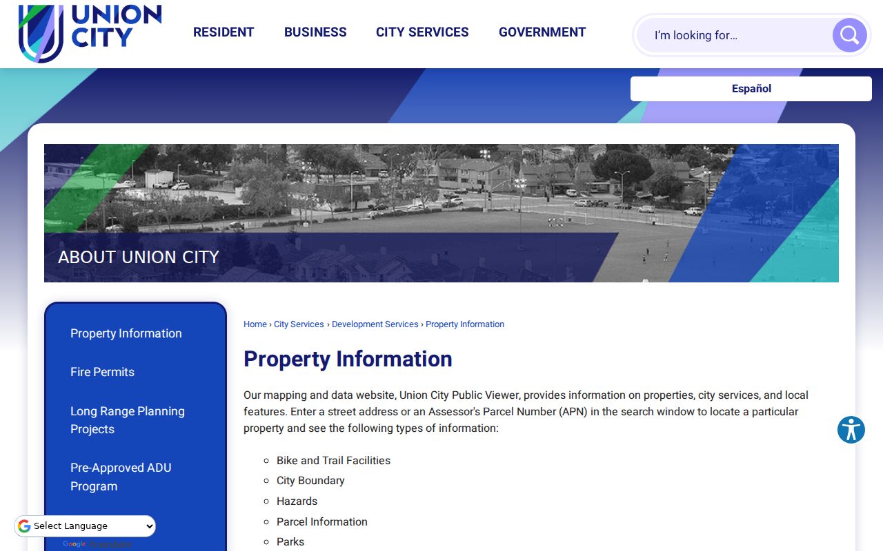
Once the city boundary and parcel are visible together, the ZIP label can be treated as one clue among three. The map does not provide a verified ZIP-wide resident browse or a public owner-name mode.
For help with the city map, Union City publishes 510-675-5319 and City Hall contact information. Planning publishes a separate 510-675-5379 route for land-use and address questions. Confirm a new or changed address with Planning or Building rather than inferring it from postal output.
Note: The city boundary and the postal label can overlap without carrying the same legal or delivery geography.
Finding Union City Residents Within One ZIP
A ZIP-based resident search is a staged workflow because the local record portals do not expose a verified ZIP filter. Start with the address, then move to the record set that matches the question. Do not promise a ZIP-wide roster when a system returns one selected property at a time.
- Use USPS to validate the full mailing address and record its ZIP and ZIP+4.
- Open the same address in the city viewer and check the City Boundary layer and APN.
- Use the Alameda Assessor or tax portal with the selected address or dashed APN.
- For title history, take the party name and identifier to the recorder's name index instead of searching the recorder by ZIP.
- For street-level context, continue parcel by parcel through the Union City streets directory.
The sequence turns a ZIP code into a specific property question. It does not disclose every household member, and the assessor, tax, and map tools should not be merged into an invented residents directory.
| Portal | Search field or route | Result limit |
|---|---|---|
| USPS ZIP Lookup | Full address or city and state | Postal ZIP or ZIP+4 for the selected address |
| Alameda Assessor | Parcel Number, Type Ahead Address, or Property Address | No separate ZIP filter; one selected parcel |
| Alameda Tax Portal | Address or Parcel Number autocomplete | No ZIP filter; one selected tax account |
| Union City Public Viewer | Street/Address or APN | No documented ZIP filter; manual mapped context |
| Recorder records | Party name and document reference | No address or ZIP mode; index by party |
Union City Situs and Mailing Geography
Three address terms matter in ZIP research. Situs is the physical parcel location used for maps, permits, and a property-address search. Mailing address is the destination for tax or assessment notices and may be far from the parcel. Legal description is the deed language that identifies the land through a lot, map, or survey. A ZIP can be attached to one of those labels without describing the others.
- ZIP versus ZIP+4
- A five-digit ZIP names a broad delivery area; the four added digits refine a delivery route or segment for one address.
- PO Box ZIP
- A postal assignment for box service; it does not establish a street parcel or household location.
- Unique ZIP
- A ZIP assigned to one institution or very limited destination, not a normal neighborhood roll.
- Carrier route
- A delivery path within postal operations, narrower than a city boundary and not a resident directory.
- APN
- The Assessor's administrative parcel identifier, which bridges a current address to property records.
The Alameda tax portal requires a dashed APN and omits leading zeroes in its search instructions. Parcel divisions and combinations can change an APN, so an older deed should be matched through the legal description and recorded map as well as the street label.
When a tax mailing ZIP differs from the situs ZIP, it may simply reflect where notices are sent. It is not a reason to relocate the parcel or identify a resident without another source.
Union City Records Before 1959
Union City did not exist as a municipal name before 1959. Historic searches must include Alvarado, Decoto, New Haven, Washington Township, Hayward, and southern Alameda County. A pre-incorporation census, directory, newspaper, church record, deed, or school item will not necessarily carry the modern city name or the modern ZIP.
The Washington Township Museum's research library, Union City papers, yearbooks, local newspapers, and Pioneer Genealogical Database are useful historical routes. The Oakland History Center holds regional directories, Alameda County voter registers, censuses, and obituary material. The Union City Library advertises a local-history file but does not publish an itemized directory or newspaper finding aid.
This is a time-and-place problem, not simply a ZIP problem. Use the ZIP only for a modern mailing label. For an older household, search the earlier community name, then use the deed, map, census enumeration district, or collection notes to reconcile the place.
Union City Address Services Beyond ZIP
A ZIP can narrow a practical search without turning into a people list. Union City Building Division records can connect a project address with an applicant, owner, contractor, work description, or date, although historical coverage and public search fields were not verified. Planning and the Public Viewer add zoning, hazards, schools, parks, and boundary context. A code or service report is a request channel, not necessarily an open case-name index.
Business, school, and community records have their own custodians. A business license can describe a premises. A school map can show service-area context. A city district map can show representation. None proves that every person associated with the ZIP lives at the listed address.
For a deeper address trail, use the assessor and GIS to obtain an APN, then move to the Alameda recorder's party index. The recorder has no verified address or ZIP browse. Historical reverse directories may translate an address into a listed occupant, but exact Union City, Alvarado, and Decoto volumes must be confirmed at the library or museum.
Union City ZIP Code Directory Limits
The verified ZIP code directory for general Union City delivery has one strong fact: 94587 is the generally assigned city ZIP in the cited official sources. There is no verified unique or PO-box-only Union City ZIP, no official ZIP-wide resident count, no documented county ZIP filter, and no dated local ZIP split or realignment to publish. Nearby ZIP codes should not be assigned to Union City simply because they appear in a radius search.
A responsible ZIP code directory states its limits. ZIP does not identify a person, owner, household, school assignment, neighborhood membership, or city-limit status. It helps validate a mailing route. The city boundary layer validates incorporation. The parcel and legal description validate land. The record custodian validates the fact a researcher actually needs.
Personal, lawful research. Postal and parcel records may support family history, civic questions, or property curiosity. Do not use an address lookup to stalk, harass, intimidate, or harm anyone, and do not treat a postal label as permission to publish private details.
Keep the USPS result, map date, APN, and source URL together. That small evidence chain prevents the common error of turning a delivery geography into a resident directory.