
Start With a Union City Street Address
A useful Union City street directory trail begins with the numbered address, not with a guess about a person. Enter the address in the Union City Public Viewer, include the street number, zoom until parcel lines appear, and click inside the parcel. The popup supplies the property address, APN, and a Summary. The APN, or assessor's parcel number, is the bridge to Alameda County property and tax tools. It is also the clue needed when the Recorder's name index has no address search.
- Map the address and write down the APN. Check the city boundary and the parcel shape before treating a postal label as proof of jurisdiction.
- Run the APN or standardized address through the Alameda County Assessor property search. The public modes begin with a parcel number or address, not an owner-name browse.
- Use current ownership or taxpayer information from the Assessor's office to identify the deed party, then search the Alameda County official-record index by party name.
- Use California's voter service only for the person concerned. A stranger's name or a Union City street cannot be entered into an open public voter roster.
- For earlier occupants, check a reverse or criss-cross directory by address, then compare the result with released census schedules and other dated records.
The chain therefore runs address to APN, APN to a current title clue, title party to deed history, and only then to narrower voter or historical evidence. Each handoff answers a different question. A parcel can have a title owner who receives mail elsewhere, while a directory entry can name an occupant without proving title. That separation keeps a Union City address trail useful for property research, family history, and civic questions without turning it into a claim about every person at an address.
Union City Street Assessor Search Fields
The Alameda County property application offers three mutually exclusive routes. The default is a parcel-number search, but a Type Ahead Address route can standardize a suggestion before the query runs. A Property Address route accepts an address instead. The public inspection did not verify an owner-name mode, so the address search should never promise an alphabetic owner list from the screen.
| Field label / control | Type | Required | Options / format notes |
|---|---|---|---|
| Search Criteria | radio group | yes | Parcel Number (default); Type Ahead Address; Property Address |
| Parcel Number | text | yes in that mode | Page example: 123-345-67; enter as shown on tax bill |
| Type Ahead Address | autocomplete text | yes in that mode | Select a suggested standardized address; exact minimum-character rule was not stated |
| Property Address | address inputs | yes in that mode | Address search rather than owner-name search; exact component labels are dynamically rendered and could not be captured |
| Search | button | - | Runs selected query |
| Reset | button | - | Clears form |
The county's property assessment information page is the office-level entry point for assistance. It lists the Oakland office at 1221 Oak Street, Room 145, with 510-272-3787, 800-660-7725, and a published weekday lobby schedule. The online result can distinguish an APN, situs, assessed land and improvement values, tax-rate area, use, parcel links, and tax information, but the research did not verify every live label or online ownership field.
The public property search screenshot below shows the entry point that a Union City address reaches before any deed work begins.
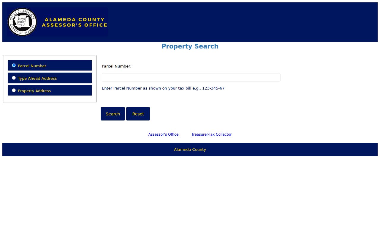
The screen is best read as an address-to-parcel tool. When the result needs a current title name, the Assessor's counter is the documented fallback, followed by the Recorder party index.
Union City Streets in the Parcel Viewer
The Union City Public Viewer is the practical street-browse layer. Search by Street/Address or APN, accept the disclaimer, zoom with the plus or minus buttons or mouse wheel, and click a visible polygon. The viewer's bubble gives the property address, APN, and Summary. To move along a street, repeat the click for each polygon rather than expecting a whole-street export.
| GIS field/control | Type | Required | Options / notes |
|---|---|---|---|
| Street/Address | address search text | one search key | Include street number; official example above |
| APN | parcel-number search | one search key | Alternative to street address |
+ / - | map buttons | no | Incremental zoom |
| Map canvas / parcel | click target | no | Left-click inside visible parcel boundary |
| Bubble / Summary | result panel | - | Property address, APN and summary |
| Map information groups | selectable/display content | no | Bike and Trail Facilities; City Boundary; Hazards; Parcel Information; Parks; Schools |
The city describes the viewer as a general visual resource, so map facts should be verified with the responsible office. It can place a parcel beside the City Boundary layer and show hazards, parks, schools, and other local context. It does not document a buffer, multi-select, measure, bulk-export, or select-adjacent tool. A careful parcel-by-parcel pass is manual: click, record the APN, then open that APN or address in the next record system.
For lot dimensions and recorded map references, Union City Planning routes users to county parcel or tax maps. That map route helps reconcile the visible street pattern with the legal parcel, especially where a corner, flag lot, or shared access lane makes house numbers misleading.
Note: A GIS parcel click locates land, but the Recorder's party index still needs a name and date.
Union City Street Records by Address
Address-keyed sources do not form one master roll. They work as a set of narrow records, each with a different keeper and access limit. The following coverage map is the working core of a Union City address-record chain: use the first column to choose the layer, the second to identify the custodian, and the last column to avoid promising more than the record can show.
| Street-address record | Street/block use | Critical limit |
|---|---|---|
| Union City Public Viewer | Pan along a street; see parcel shapes and click each adjacent parcel | No verified owner field; map is general information |
| County assessment lookup | Resolve a known address/APN to current assessment record | No owner-name mode; no ZIP or whole-street result verified |
| County tax portal | Address/APN tax account and supplemental-tax clues | Mailing address/result fields not verified without a live selection |
| Recorder name index | Trace earlier owners after a current name is known | No address index; electronic cutoff 1969 |
| Building/Planning file | Addressed construction and land-use history | Search coverage not published |
| Reverse directory | Historical address to listed occupant | Exact local years not verified |
| Census schedule | Household at an enumerated address through 1950 | Address consistency and enumeration geography vary |
The Alameda County tax portal is a separate one-property account search. It accepts an autosuggested address or a dashed APN, and its records cover secured, supplemental, and prior-year delinquent bills. Supplemental bills may mark reassessment after ownership change or new construction, but a tax account is not a deed-chain substitute.
The Alameda property-tax search capture shows the address and APN route used for one selected account.
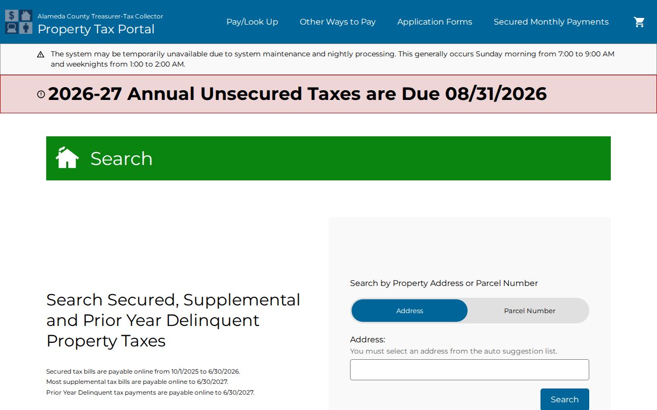
Its single-property design is why a whole-street pass requires repeated address or APN queries rather than one ZIP or street export.
Moving from one layer to the next is the point. The map supplies a parcel, the assessment and tax tools supply property clues, the Recorder supplies named instruments, permits supply dated work, and a historical directory may supply an occupant clue. None of those rows alone is a complete roster of a street.
Union City Situs and Mailing Address Clues
Address terms look alike but do different work in a street directory. A situs identifies the physical parcel. A mailing address sends tax or assessment notices and may belong to a representative or a different location. The legal description carries the land identity across old deeds. A criss-cross directory adds an historical address-to-name clue, not a current statement about everyone present.
- Parcel
- An assessor's administrative land unit tied to an APN. A parcel can be divided or combined, so an older APN may not match today's number.
- Situs address
- The civic address for the physical property. It is the mapped location used by the Public Viewer, permits, and property-address searches.
- Plat or legal description
- A recorded map, subdivision and lot reference, or survey and metes-and-bounds wording that identifies the land more reliably than a postal label.
- Criss-cross directory
- An address-first or reverse directory that can list a historical occupant or telephone subscriber. It is a dated research clue, not a live resident register.
The Alameda County Law Library's deed research guide advises copying the legal description exactly from the current deed. That detail matters when a street name changes, an APN is replaced, or a parcel sits at a corner with more than one frontage. A matching mailing and situs address can support an owner-occupancy lead, but it still does not prove who is present today.
Trace a Union City Deed Chain
Alameda County has no Recorder index by property address. Start with the APN and current title clue, obtain the current deed, and use its named parties to move backward. The Recorder's official public records begin in 1853. Electronic party indexing covers 1969 to the present; 1853 through 1968 is on microfilm and must be searched in person at the Public Records Room in Oakland.
- Use the Assessor or parcel map to anchor the numbered address to an APN and obtain current public ownership or taxpayer information through the documented office channel.
- Find the current purchase deed. Record each grantee, grantor, recording date, instrument number, and the complete legal description.
- Search the current owner as a grantee around the acquisition period. The seller listed as grantor is the immediate earlier title party.
- Search that seller as a grantee in an earlier period. Repeat the grantor-to-grantee turn while matching the legal description, lot, map, or survey.
- At the 1969 boundary, move to the alphabetical microfilm indexes and deed books at 1106 Madison Street, Oakland, and continue toward 1853.
Online copy ordering requires an instrument number and offers plain copies at $3.50 per page or certified copies at $4.50 for the first page and $3.50 for each additional page. The online order adds a $2 convenience fee. Mail requests require an identifier, payment by check or money order, and a self-addressed stamped envelope; a counter search remains the practical route for pre-1969 research.
The Alameda recorded-document copy order shows the order path that follows a successful index search.
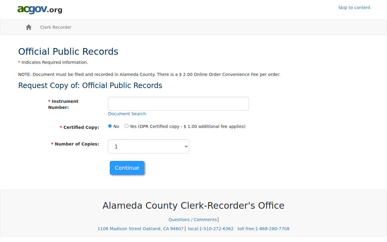
The copy screen is not a substitute for the index. It expects an instrument number or another accepted placement key, which is why APN, deed parties, dates, and legal descriptions must be recorded before ordering.
Union City Street Records Before 1969
The 1969 line is an access-format split, not a missing-records date. Alameda County was created in 1853, and its Recorder says real-property records reach back to that year. A researcher using a Union City street directory can therefore face 116 years of land records before the online index begins. The earlier work is slower because party names are searched on microfilm at the Clerk-Recorder office rather than typed into the current portal.
For recent recordings, the Customer Service Unit can confirm an instrument number when given the document type and party names. For older material, bring the current deed's legal description and every spelling or entity variation found in the chain. A street name alone is a weak historic key. Search the responsible party, then test the land reference against a book/page, reel/image, or subdivision map.
That practical backstop explains why “not online” cannot be read as “no deed.” It may mean a counter terminal, microfilm reel, mail request, or paid copy is required. The same distinction helps prevent a modern street directory search from erasing the older paper trail.
Note: The 1969 cutoff marks the index format, not a break in Alameda County's underlying land records.
Union City Alvarado and Decoto History
A current Union City street directory has to work backward through place names. Union City incorporated in 1959 by joining the earlier communities of Alvarado and Decoto. A deed, map, directory, newspaper, or census schedule from before incorporation may use Alvarado, Decoto, Washington Township, or a nearby Hayward-area label instead of Union City.
That history is unusually close to county recordkeeping. Alameda County was formed in 1853 with Alvarado as the original county seat, while Oakland became the county seat in the 1870s. Eastern hills were annexed to Union City in 1962, and later subdivisions changed the built landscape. The result is not one continuous city-named archive. A street search must align the locality name with the date and then reconcile the parcel through the legal description.
The Washington Township Museum of Local History holds materials for historic Alvarado and Decoto, including maps, newspapers, ledgers, photographs, and assessor-book selections. No authoritative street-renumbering list with dates was located, so address continuity should be proved from deeds and maps rather than a guessed renaming year.
Union City Permits by Street Address
Permits add a dated work history to a Union City street directory. The Building Division identifies the project address and may show an applicant, owner, or contractor, along with a work description and final date. That is useful for placing construction or an alteration in time, but a named applicant can act for another party and a permit does not establish who occupied the address.
The Union City Building Division accepts plans, resubmittals, and revisions at the counter Monday through Thursday from 9 a.m. to 5 p.m. and on alternating Fridays from 9 a.m. to noon. The division lists 510-675-5313; the inspection hotline is 510-487-0711. Some over-the-counter permits can be handled by email or mail. A focused city records request can ask for permit cards, applications, final dates, or code correspondence for a stated address and date range, subject to copyright, security, and other limits.
The Building Division access page below is the practical source for a street-address permit trail.
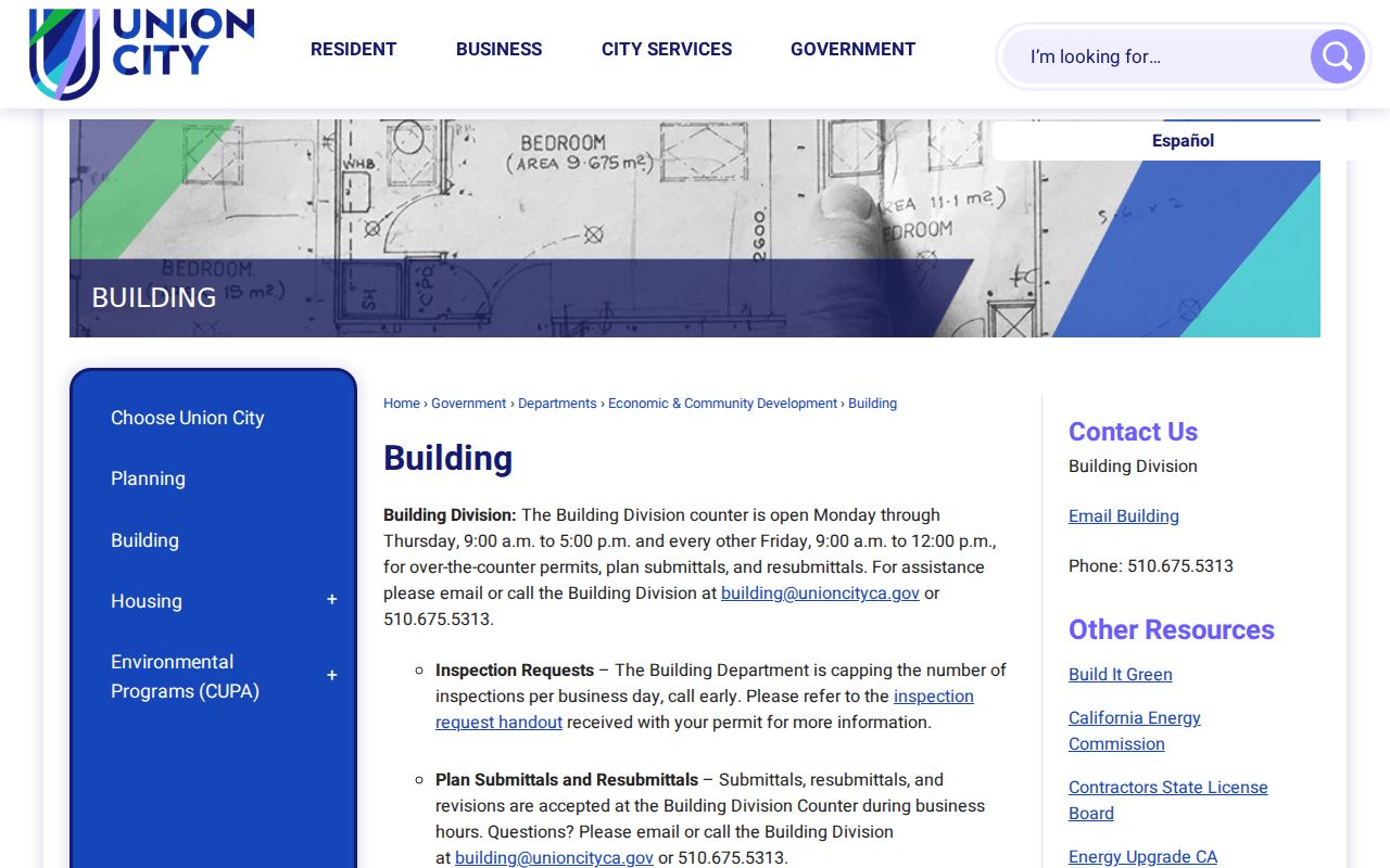
The image connects the address question to the city's offline channel. When no purpose-built search is available, the Union City public-records request portal can route a focused request to the right custodian. The research did not verify a public historical permit index or its start year, so coverage should be confirmed before drawing a long street timeline.
Union City Reverse Directories by Address
Criss-cross directories are the historical layer that turns an address into a possible occupant name. Regional holdings matter because Union City did not yield a verified standalone alphabetical city-directory series with a complete first and last year. The Oakland History Center identifies Polk's Hayward and San Leandro volumes for 1948 and 1951, selected Polk's Hayward volumes from 1956/57 through 1976, and Haines East Bay or Southern Alameda County criss-cross volumes for 1973-82 and 1984-2019.
Those dates describe holdings, not proof that every Union City street appears in every volume. Start with the street and number in the reverse section, note the listed name and any abbreviation, then check the alphabetical section and a second dated source. A disappearance can mean a move, death, an unlisted household, a gap in the volume, or a change in the street's historical locality. Pairing a directory entry with a deed, a census schedule, a newspaper notice, or a museum file is safer than reading one line as a complete household.
The Oakland Library directory and phone-book collection explains where the regional runs are held. Its image below represents the regional shelf that supports an address-first search.
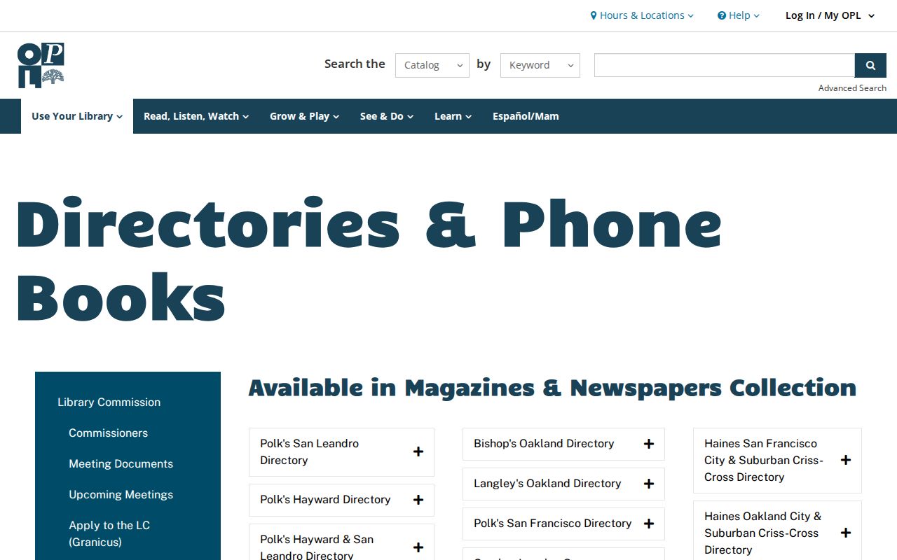
The named collections and how to read them in depth belong with the Union City city directory collections. The street directory uses that shelf only to add a dated address clue to a modern parcel trail.
Union City ZIP and Street-Boundary Checks
ZIP geography can mislead a street directory when a mailing city is treated as an incorporated boundary. The only generally assigned Union City ZIP verified in the research is 94587, serving residential, civic, BART and Station District, Decoto, and Alvarado areas. A postal label still describes routing. It does not, by itself, prove that a parcel lies inside Union City.
For one address, use the USPS ZIP Code Lookup to validate the mailing ZIP and ZIP+4. Then inspect the same address in the Public Viewer with the City Boundary layer, and finally use the APN and legal description for the land identity. Nearby Hayward, Fremont, or Newark mailing labels need the same address-by-address check. The Alameda property and tax portals did not show a verified ZIP-wide browse, and the Recorder has no ZIP mode.
This three-part check keeps a Union City street directory precise: postal validation, incorporated jurisdiction, then parcel and deed continuity.
Note: A Union City mailing label can validate postal routing, but only parcel and boundary layers address incorporated jurisdiction.
Limits of a Union City Street Directory
Property sources identify land, title, tax relationships, and recorded work. They do not list every person at a Union City address. A deed names title parties, not all household members. A tax mailing address shows where notices go. A permit can name an agent or contractor. A reverse directory is historical and selective. A recent mover or a protected person may not appear at all.
California DMV personal information is restricted under the federal Driver's Privacy Protection Act. Utility and delivery customer lists were not found as open city directories. Voter registration is confidential except for limited Elections Code purposes, and the individual My Voter Status service is an identity-gated self-lookup rather than a public street browser. Protected Safe at Home addresses receive added safeguards. These limits are part of the answer, not gaps to work around.
Lawful use. Use Union City address records for lawful personal research, family history, property curiosity, or civic work. Never use a street directory to stalk, harass, intimidate, or expose a protected address.
The strongest street directory result is therefore a documented chain with clear labels: parcel, title party, recorded instrument, dated permit, or historical listing. When the record does not establish residence, say so and stop there.